 |
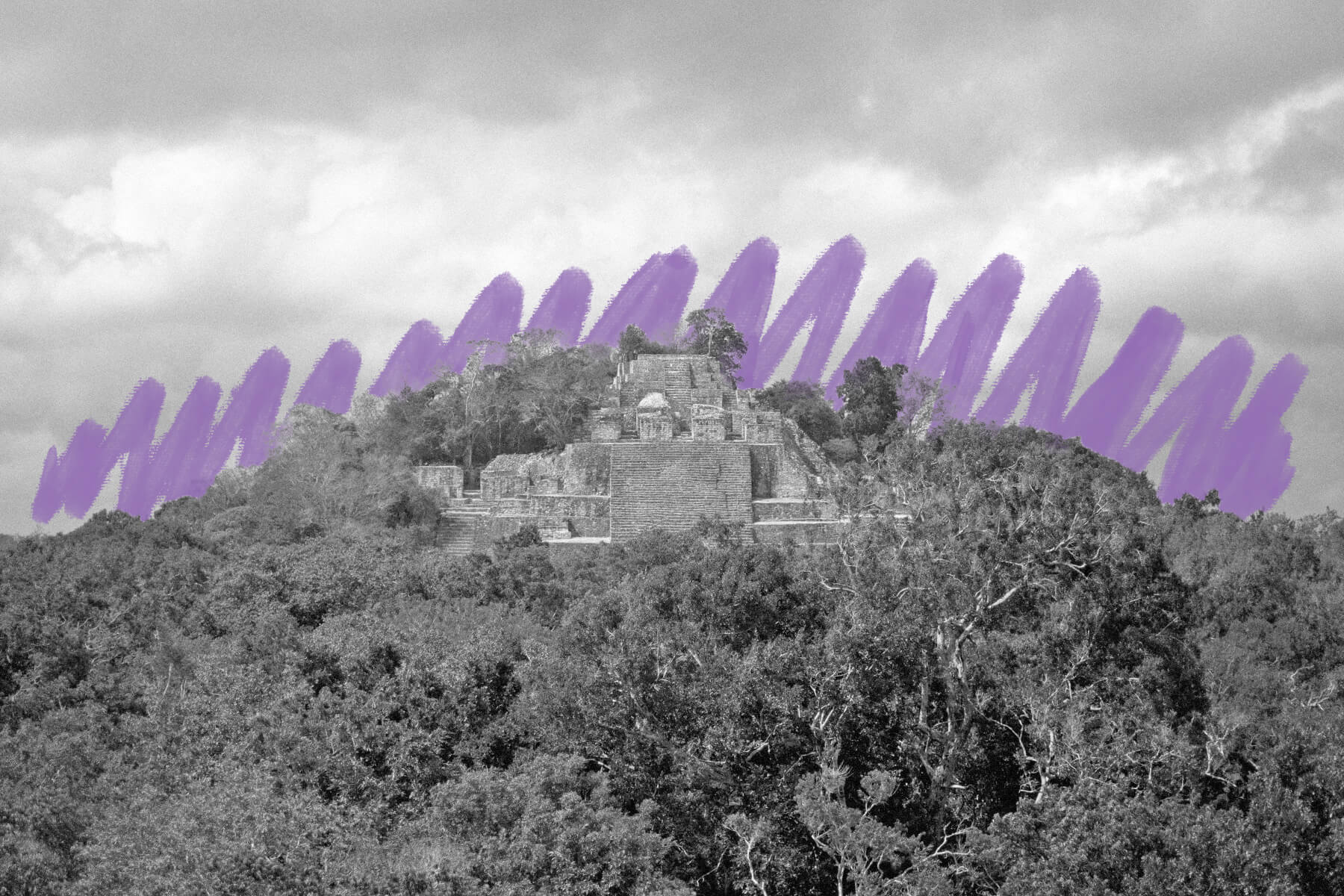
A new ancient city was recently discovered. |
Science & Industry |
 |
| |
| Lidar works by sending out laser light pulses from an aircraft and measuring how long they take to bounce back — not unlike how some animals use echolocation. The information helps create detailed maps of the Earth's surface, showing things such as land shapes and structures. The site was discovered by researchers at Tulane University, but they didn't deploy the radar themselves; they found a 2013 lidar survey of the area several pages deep into a Google search. The survey was initially done to measure carbon in Mexico's forests, and the results had never been studied by archaeologists before. Once the research team processed the data, it was clear to them what they were looking at. | |
| The city, which the researchers named Valeriana after a nearby lagoon, had all the markings of a capital city. It's thought that upwards of 50,000 people may have called Valeriana home at its peak between 750 and 850 CE — a population second only to that of Calakmul, one of the largest ancient Maya sites. The researchers determined that Valeriana was once home to pyramids, ball fields, dense housing, causeways connecting distinct districts, and amphitheaters. The exact reason for its eventual abandonment isn't clear, but archaeologists suggest that, not unlike other Maya cities, its dense population could not be sustained when faced with challenging conditions such as drought. | |
 | |
 | |||
| |||
Double the Savings: Buy One Window, Get One 40% Off + $200 Off Your Project | |||
| Thank you for supporting our sponsors! They help us keep History Facts free. |
 | |||||||||
By the Numbers | |||||||||
| |||||||||
| |||||||||
 | |||||||||
The Maya ball game wasn't just a sport — it was also political and spiritual. | |||||||||
| The Maya are known for their ball game "pitz," which was so central to their culture that some settlements, such as Chichén Itzá, had multiple courts dedicated to it. While the sport was indeed played for entertainment, it was also much more than that — it held a great deal of political and spiritual significance. Archaeologists believe the players used the trunks of their bodies to propel a heavy rubber ball to the other side of the court. The game was often played to settle conflicts and territory disputes, and captives of war could be forced to play, with the leader of the losing team sometimes being sacrificed. Pitz was also thought to symbolize the eternal struggle between life and death, light and darkness, and even the movement of celestial bodies, with the court itself serving as a connection to the underworld. | |||||||||
 | |||||||||||||||||||||||||||||||||||||||||||||||||||||||
Recommended Reading | |||||||||||||||||||||||||||||||||||||||||||||||||||||||
 | |||||||||||||||||||||||||||||||||||||||||||||||||||||||
| | |||||||||||||||||||||||||||||||||||||||||||||||||||||||
 | |||||||||||||||||||||||||||||||||||||||||||||||||||||||
| | |||||||||||||||||||||||||||||||||||||||||||||||||||||||
| + Load more | |||||||||||||||||||||||||||||||||||||||||||||||||||||||
| | |||||||||||||||||||||||||||||||||||||||||||||||||||||||
| |||||||||||||||||||||||||||||||||||||||||||||||||||||||
| |||||||||
| 700 N Colorado Blvd, #513, Denver, CO 80206 | |||||||||


No comments:
Post a Comment